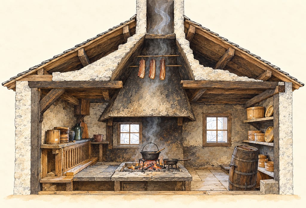
Broad hood or chimney chamber
A family of domestic smoking structures that used smoke rising from a hearth: from the Austrian Rauchkuchl spark hood to the Jougne farmhouse meat hood and the Franche-Comté tuyé.
 FermenteaWhere food goes to change
Place · Cellars, caves and ripening rooms
crayères · Champagne crayères · Reims chalk cellars
Reims’ Saint-Nicaise Hill crayères are chalk galleries adapted from quarries and used within Champagne’s bottle-fermented wine production. Their documented conditions and form should not be generalized to every cellar in the region.
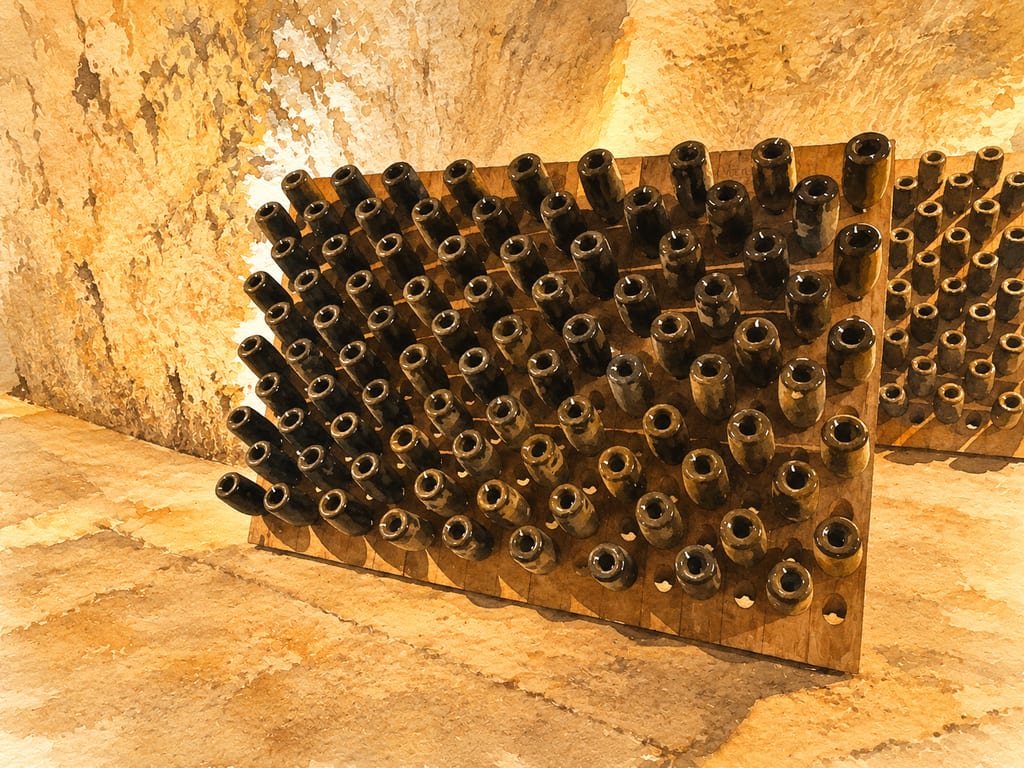
A Champagne crayère is an underground space cut into chalk. In Reims, well documented examples lie under Saint-Nicaise Hill. They began as chalk quarries: material extracted from the hill was used in building Reims, and the spaces left behind later became cellars. This is a place-bound build, not a cellar vessel or a portable rack.
The name does not describe one uniform room. Some galleries reuse older quarry workings; elsewhere, Champagne houses dug cellars suited to their production sites. The UNESCO property also takes in historic vineyard slopes and Champagne Houses at Épernay, so this page focuses on the Reims chalk-cellar subset rather than treating every Champagne cellar as a crayère.
Excavation beneath Saint-Nicaise Hill is dated to the third century, and quarrying continued until the French Revolution. Wine merchants began converting these galleries for Champagne production and ageing from the eighteenth century. The larger regional production system developed around secondary fermentation in the bottle from the early seventeenth century and industrialized early in the nineteenth.
Underground rooms were part of the working infrastructure, not merely remote storage. Bottle fermentation required a large cellar network, linked with Champagne’s supply hillsides and commercial Houses. Ground-level production facilities connected with the galleries. The cellar network belongs to that integrated landscape, alongside the movable bottles and tools used inside it.
For the Saint-Nicaise Hill crayères, the reported environment is dark, about 11°C, with humidity close to 100% and little vibration. Those conditions help explain why the spaces were useful for ageing Champagne bottles. They apply to this Reims network; available records do not establish that every cellar in Champagne shares the same temperature or humidity.
The linked photograph shows one lived-in example: riddling racks against rough chalk walls in the Veuve Clicquot cellars at Reims. It records one room, not a universal architecture. The generated illustration is editorial art based on that cellar view and the documented setting, not a measured drawing or a reconstruction of a named gallery.
Chalk is the documented ground material, but the references do not provide a standard excavation profile, depth, support or lining method, structural assessment, or construction plan. They also describe more than one history: former quarries were adapted, while other cellars were cut for wine production. A single set of assembly instructions would imply a uniform design the evidence does not show.
A bottle, riddling rack or production tool can be moved; a chalk cellar depends on its exact site and underground galleries. The cellar is the build, while the bottles and tools within it remain separate equipment. This account describes the Reims setting and regional context, not a safe-access or excavation guide.
The Champagne Heritage Mission dates excavation of the Saint-Nicaise Hill crayères to the third century and says they were worked until the French Revolution, then converted into Champagne cellars from the eighteenth century. UNESCO describes Champagne production sites with underground cellars as part of a system built around secondary fermentation in the bottle.
UNESCO reference point for the Pommery, Ruinart, Veuve-Cliquot and Charles Heidsieck underground component. Locates the cellar complex, not a particular gallery or public entrance.
A family of domestic smoking structures that used smoke rising from a hearth: from the Austrian Rauchkuchl spark hood to the Jougne farmhouse meat hood and the Franche-Comté tuyé.
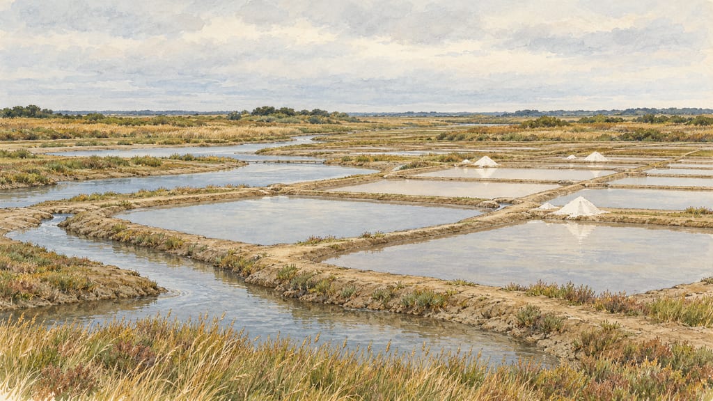
The Guérande salt marshes are a tidal, sun-worked salina landscape in western France, where brine moves through earthen basins toward small crystallising pans.
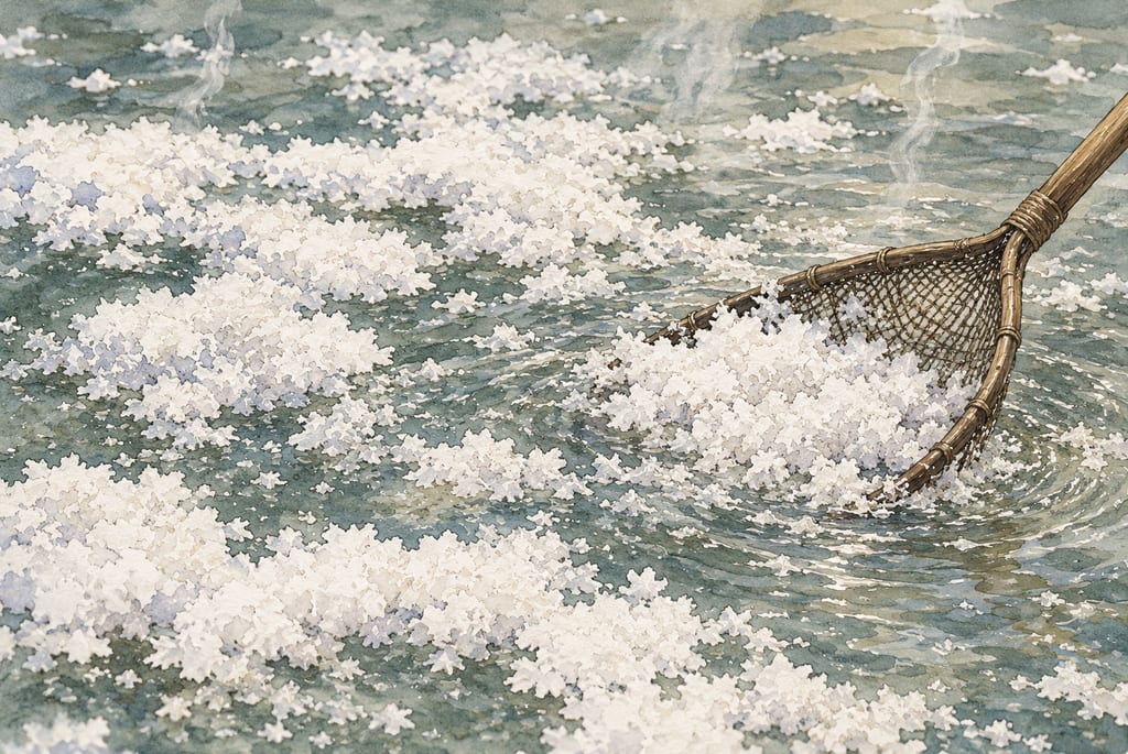
The Salines de Salies-de-Béarn make salt from inland spring brine, carrying water from Oraàs to open-air salt pans where heat concentrates crystals.
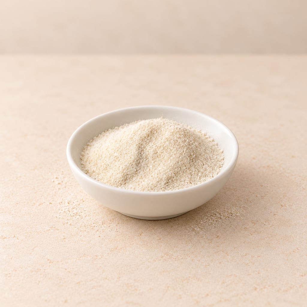
A gelling polysaccharide extracted from red seaweeds, sold as kanten strips or powder; it sets firm at a low concentration and stays solid until about 85 °C.

A Dominican table and seasoning condiment of sour orange juice, mixed with lime and salt and bottled raw; garlic, oregano or a hot pepper may be added for meat or a spicier bottle.
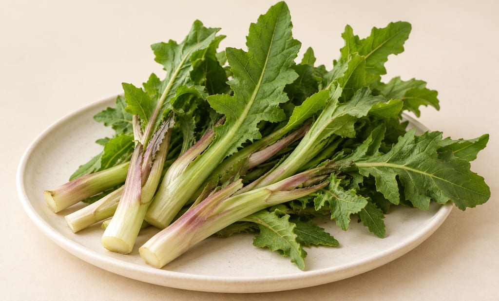
Cicerbita alpina is an alpine perennial whose tender shoots and leaves have been eaten raw or cooked. Sámi milk preparations and modern Carnian dishes are distinct uses, with serious identification and preservation limits.
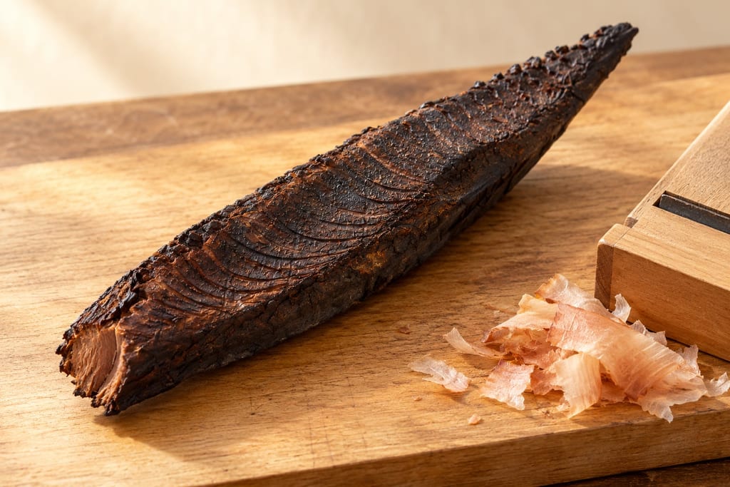
Japanese skipjack tuna cooked, then repeatedly smoked and dried over a wood fire by the hand-fired tebiyama method into a hard block for shaving into dashi: the first stage of katsuobushi.
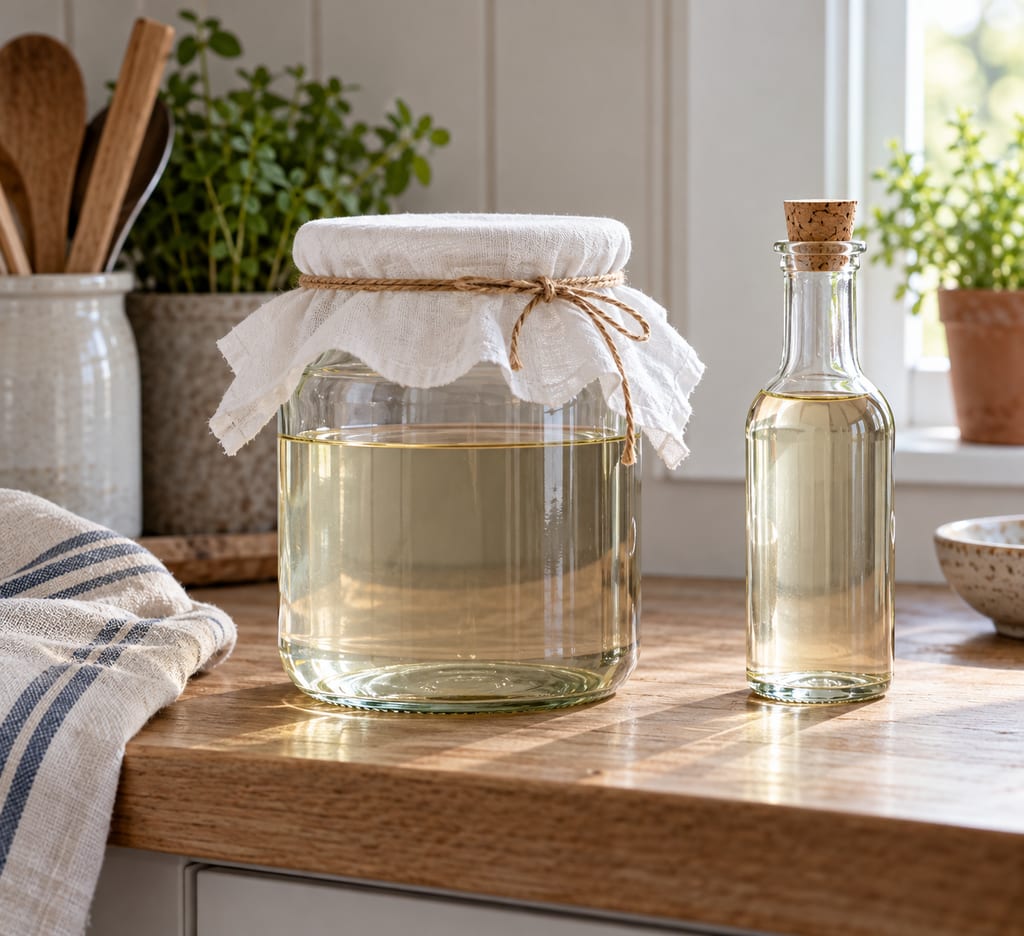
A Swedish-style spirit vinegar made by fermenting neutral alcohol with live vinegar bacteria, with a separate guide to commercial ättika strengths.
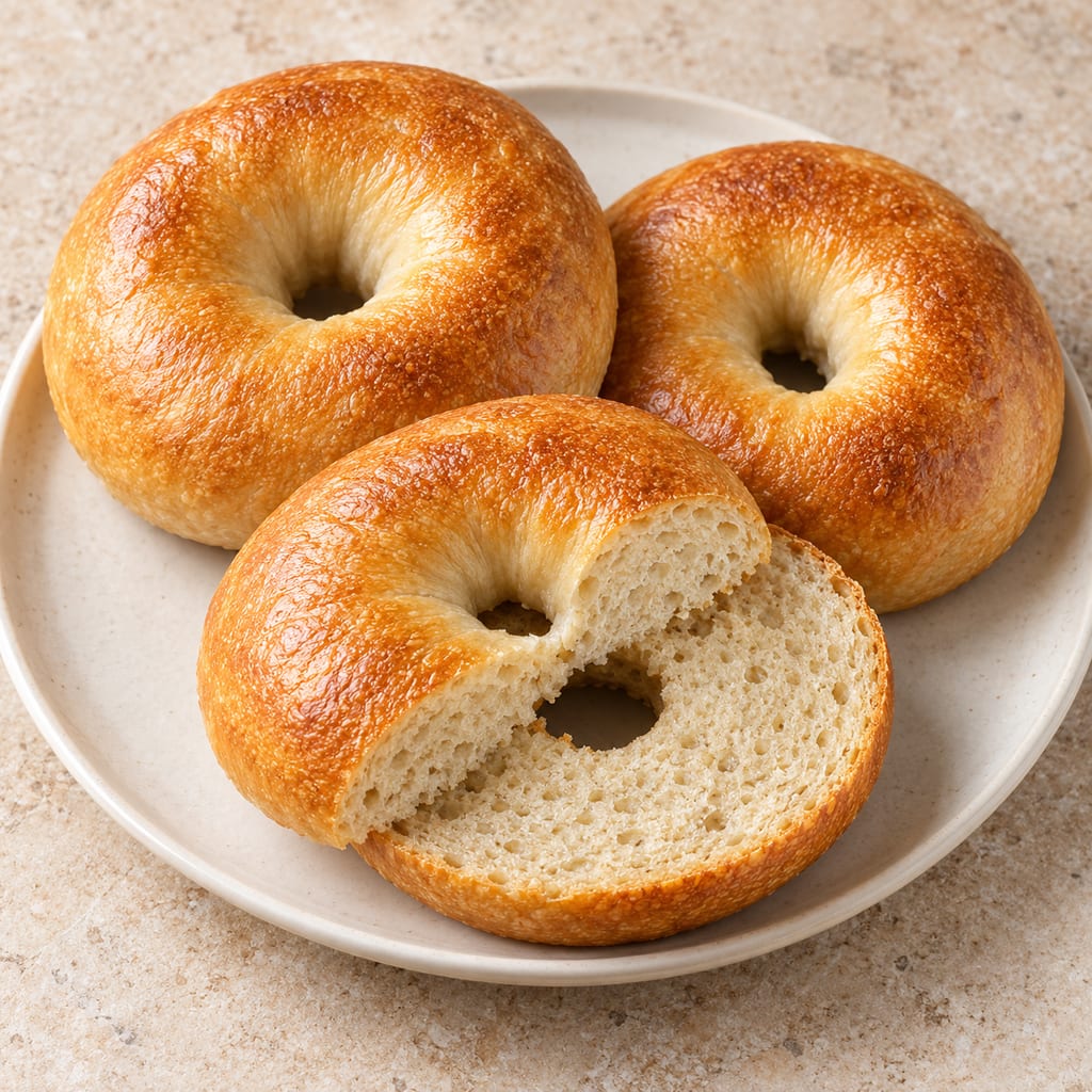
A yeast-raised wheat ring shaped from a firm dough, briefly boiled and baked. This source-batch formula gives a gently malted crust and a chewy crumb.
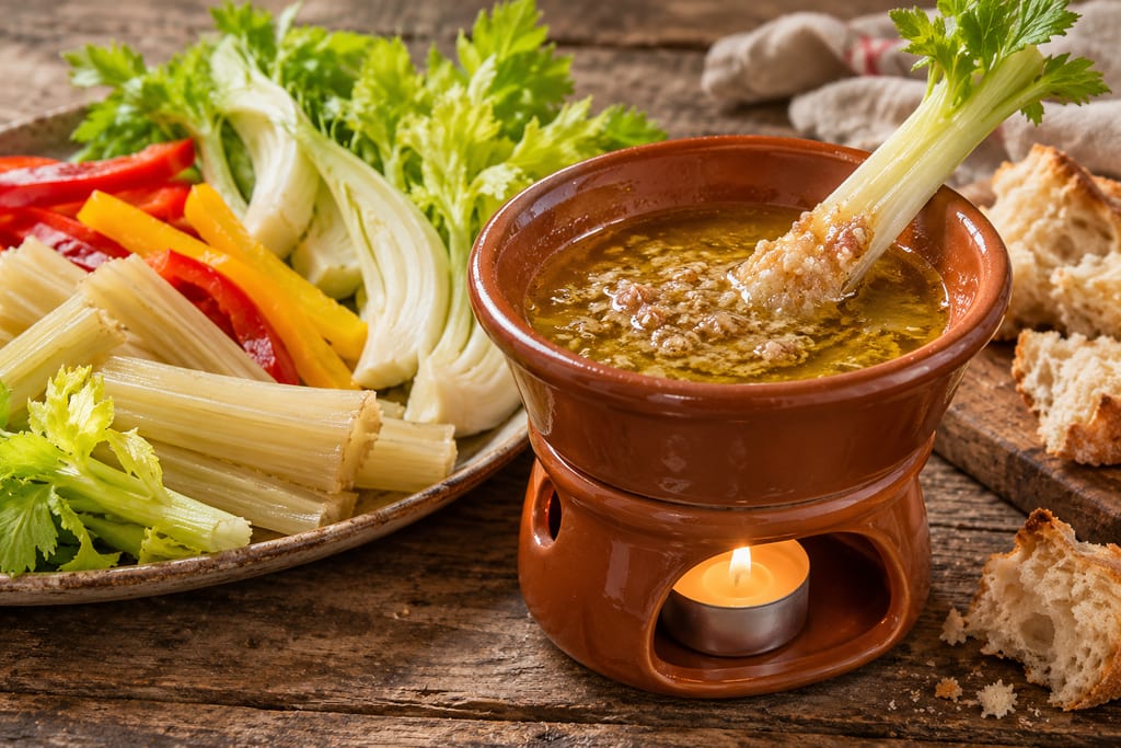
A warm dip of garlic, anchovy and olive oil, often enriched with butter, that Piedmont serves over a flame with raw and cooked vegetables and bread.
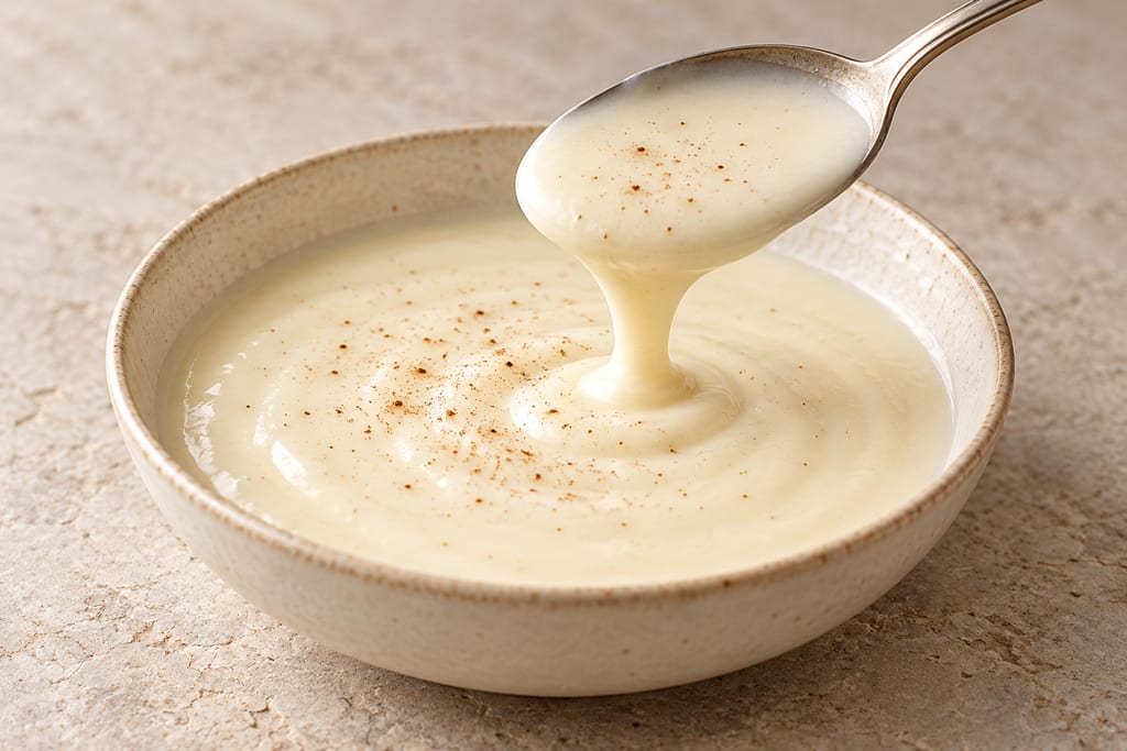
Bechamel is a white sauce of milk thickened with a butter and flour roux, one of the French mother sauces, and the base from which Mornay and other cheese and cream sauces are made.
No community contributions have been published for this entry yet.
Sign in to contribute. Published comments and photos are free to read.
UNESCO World Heritage CentreHistory · Geography · Production site · Process
Champagne Hillsides, Houses and CellarsThe UNESCO property includes historic vineyards, Saint-Nicaise Hill in Reims, and Avenue de Champagne and Fort Chabrol in Épernay.
The property records the development of sparkling wine by secondary fermentation in the bottle from the early seventeenth century through early industrialization in the nineteenth.
In Reims, former Gallo-Roman and medieval chalk quarries were used alongside suitable cellars dug in Épernay and on the hillsides.
Cited in: A cellar made from the chalk; From quarry to production landscape; What the record does not establish
Coteaux, Maisons et Caves de Champagne World Heritage MissionSite · Geography · History · Environment
Underground cathedrals: the crayères (Reims)Saint-Nicaise Hill crayères are former chalk quarries from which some building material for Reims was extracted.
The Mission dates their excavation to the third century and quarrying to the French Revolution; cellar conversion is described from the eighteenth century.
For the Reims galleries, the Mission reports darkness, about 11°C, humidity close to 100% and little vibration; these figures do not describe every regional cellar.
The Mission describes galleries under the hill and ground-level production facilities connected to them.
Cited in: A cellar made from the chalk; From quarry to production landscape; A steady underground environment; What the record does not establish
Wikimedia CommonsImage reference · Subject form
Riddling racks, Veuve Clicquot cellarsThe photograph caption identifies riddling racks in Veuve Clicquot’s chalk cellars in Reims; it is one documented cellar view, not a standard plan for all Champagne cellars.
The file is licensed CC BY-SA 4.0; attribution and license are recorded with the linked gallery image.
Cited in: A steady underground environment; What the record does not establish
UNESCO World Heritage CentreGeography
Champagne Hillsides, Houses and Cellars — mapsPublished site reference point converted from degrees, minutes and seconds to WGS84 decimal latitude 49.240833333333335 and longitude 4.051111111111111. UNESCO reference point for the Pommery, Ruinart, Veuve-Cliquot and Charles Heidsieck underground component. Locates the cellar complex, not a particular gallery or public entrance.