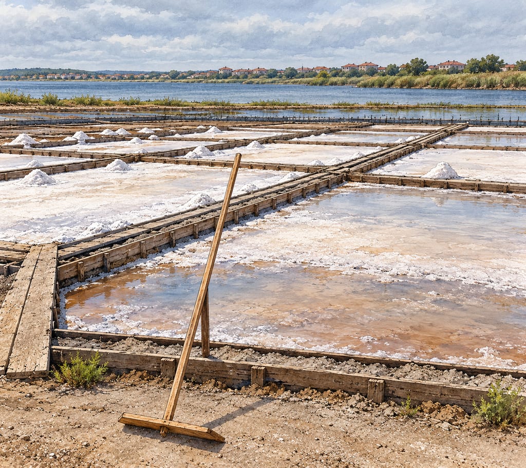
Pomorie Anhialo salt pans
The Pomorie salt pans are a working coastal salina beside Lake Pomorie, where shallow beds use sun and wind to concentrate lake water and yield salt.
 FermenteaWhere food goes to change
Place · salt-evaporation-pans-and-salina
Marais salants de Guérande · Guérande salterns
The Guérande salt marshes are a tidal, sun-worked salina landscape in western France, where brine moves through earthen basins toward small crystallising pans.
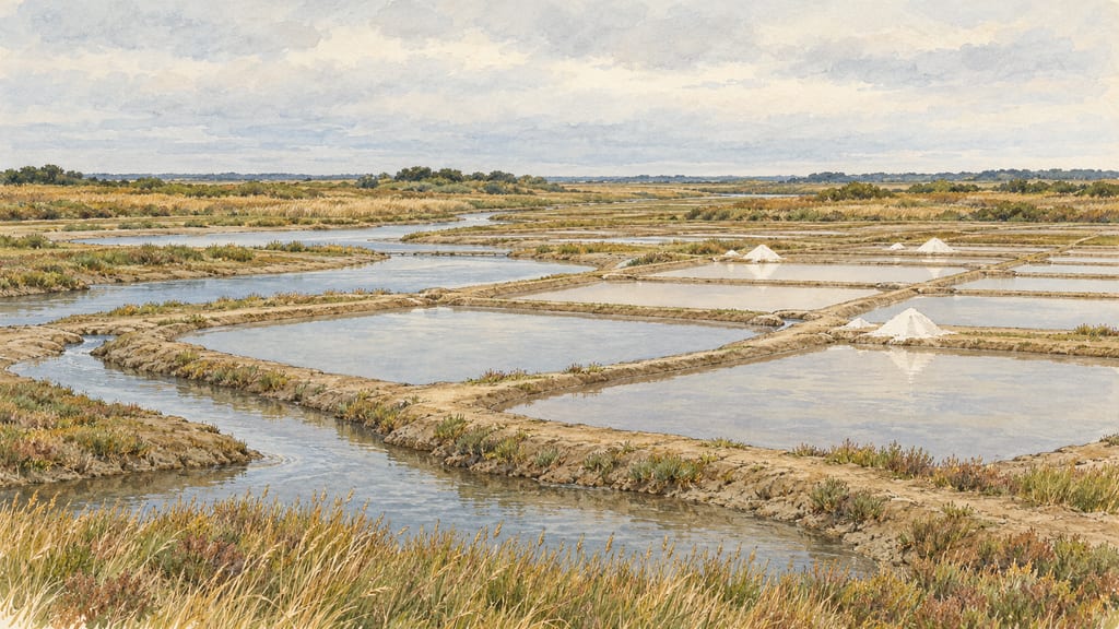
The Pays de la Loire Regional Heritage Inventory records a saline at Cohfort near Saillé in 971 and describes other medieval saltworks, while warning that origins and chronology of the solar salina landscape remain debated. These records attest the area’s salt production, not the age of each present basin.
This heritage description is not a construction specification or permission to collect salt. Consult local operators and authorities before site work or harvest.
Regional heritage inventory locates the marsh in Guérande; this does not claim one individual basin or exact coordinates.
The Pomorie salt pans are a working coastal salina beside Lake Pomorie, where shallow beds use sun and wind to concentrate lake water and yield salt.
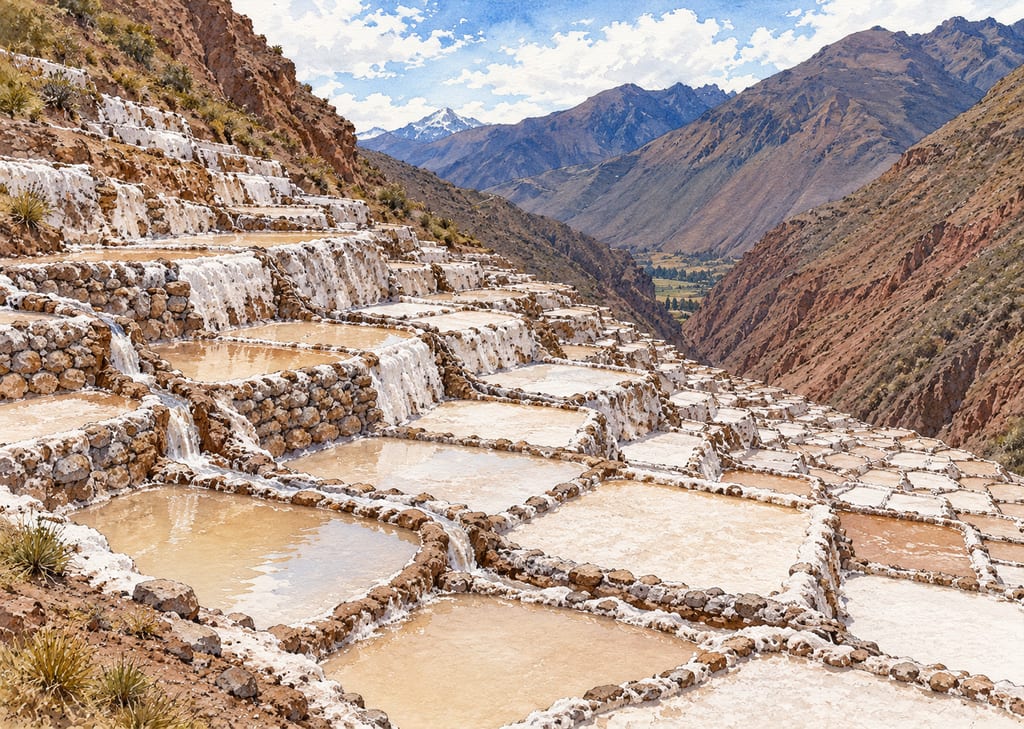
The Salineras de Maras are an Andean spring-fed salina: shallow evaporation wells descend a steep slope, supplied by branching gravity channels from saline water.
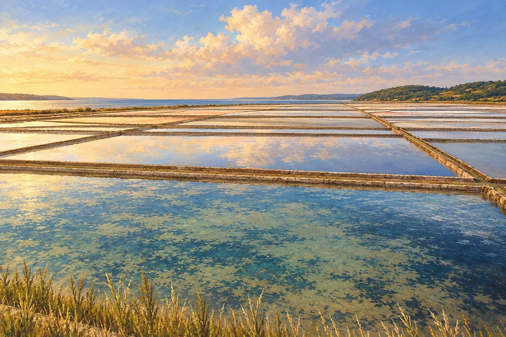
A northern Adriatic saltworks in Slovenia where seawater passes through evaporation ponds into crystallisation beds, with the traditional petola layer and daily hand harvesting preserved.
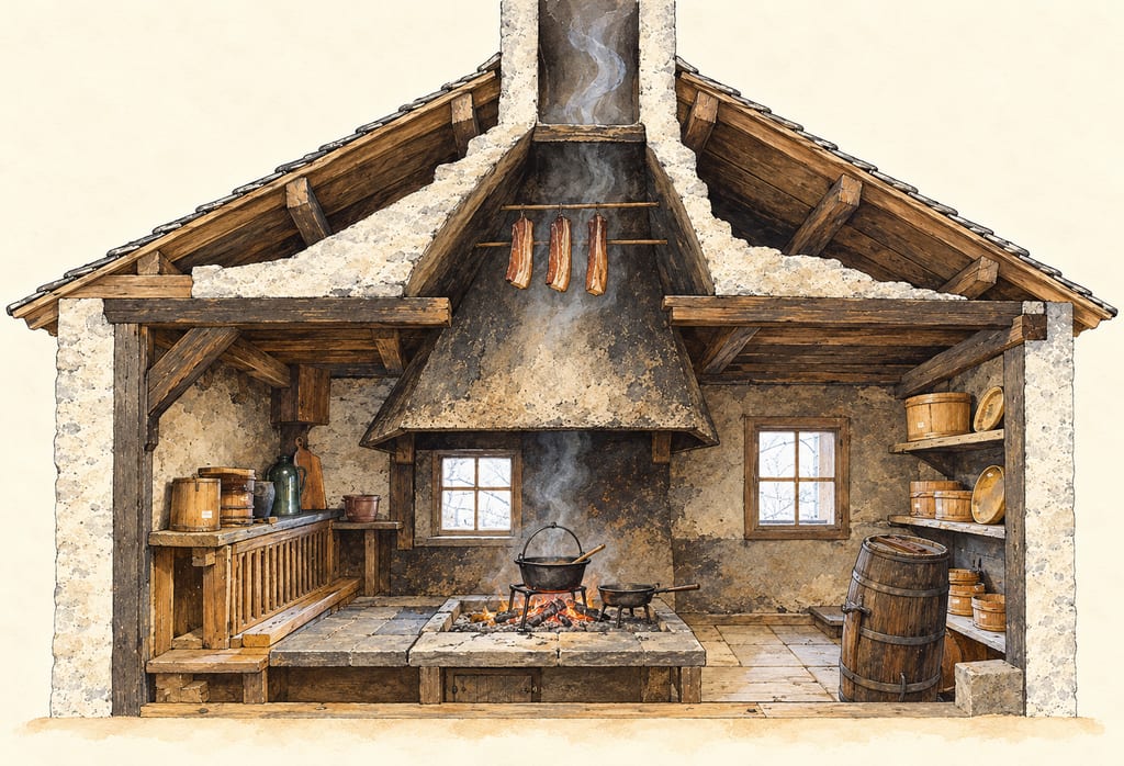
A family of domestic smoking structures that used smoke rising from a hearth: from the Austrian Rauchkuchl spark hood to the Jougne farmhouse meat hood and the Franche-Comté tuyé.
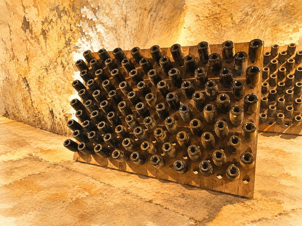
Reims’ Saint-Nicaise Hill crayères are chalk galleries adapted from quarries and used within Champagne’s bottle-fermented wine production. Their documented conditions and form should not be generalized to every cellar in the region.
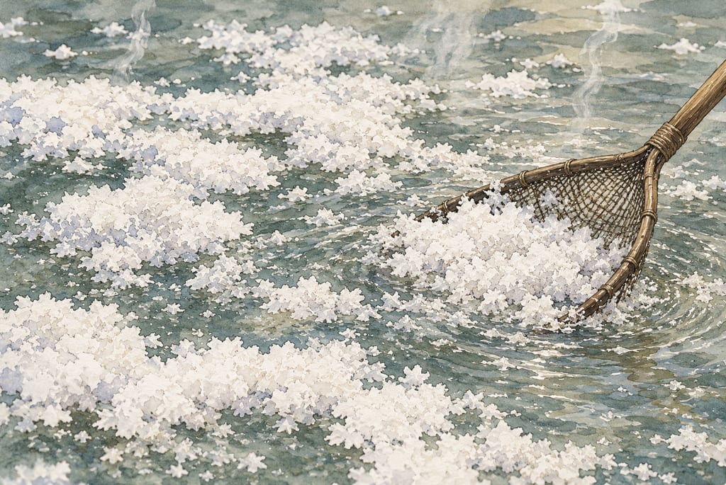
The Salines de Salies-de-Béarn make salt from inland spring brine, carrying water from Oraàs to open-air salt pans where heat concentrates crystals.
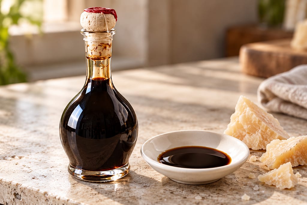
Protected Italian vinegar made only from cooked grape must, fermented and aged in a battery of wooden barrels for at least 12 years: sweet, sharp and syrupy.
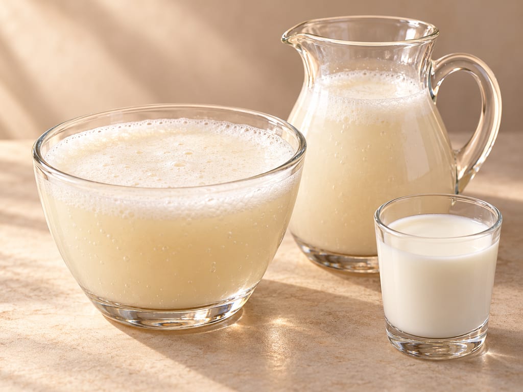
Airag is Mongolia’s fermented mare’s-milk drink, traditionally churned with saved starter in a reusable cowhide khokhuur.
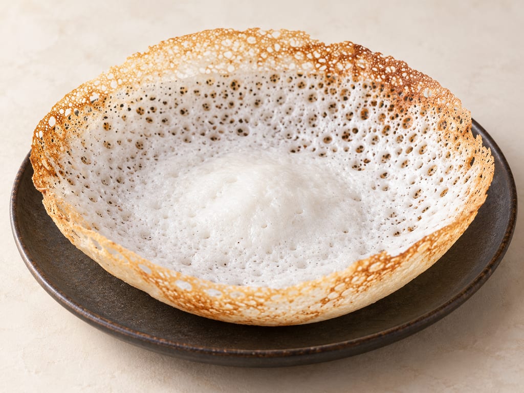
Appam, or hoppers, are South Indian and Sri Lankan rice pancakes made from a fermented coconut-and-rice batter and cooked in a curved pan to a crisp lacy rim and a soft, spongy centre.
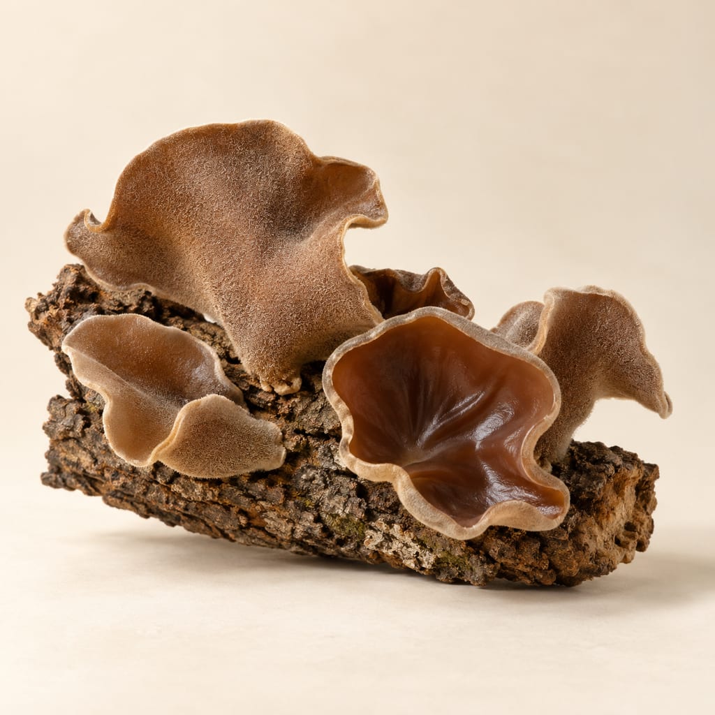
Auricularia tremellosa is a wood ear fungus of the genus that supplies most dried wood ear sold in China; its own food record is thin, and the culinary practice described here comes from the closely related wood ear species.
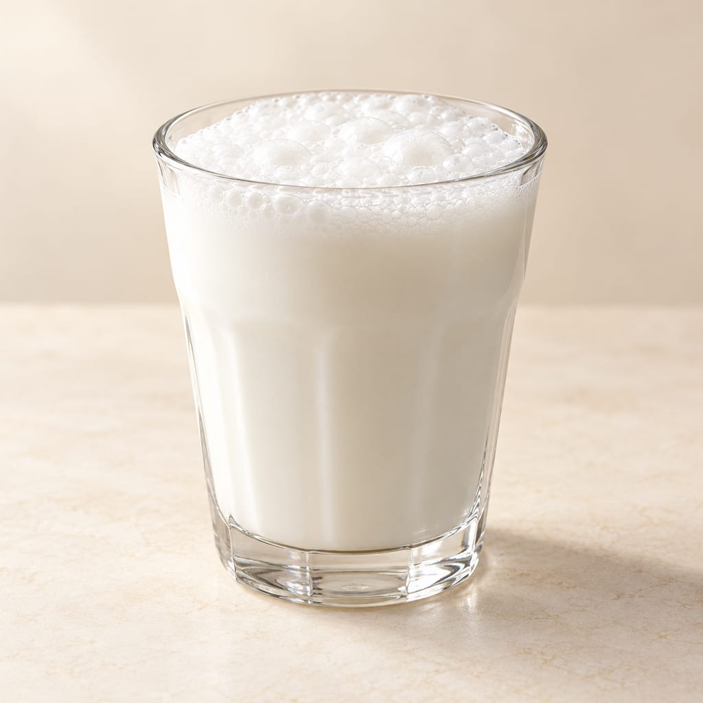
Ayran is Turkey’s cold, savoury yogurt drink: plain yogurt is loosened with water and lightly salted, then whisked smooth or aerated into a soft cap of foam.
A thin stone griddle used over an open hearth. Norwegian archaeology documents the established tradition from the early Middle Ages; a Viking-period origin is only a cautious suggestion linked to Shetland.
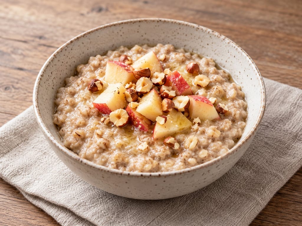
Crushed or milled barley cooked in water until the starch softens and the mixture thickens, the plainest way a northern household turned stored grain into a meal, here with apple and hazelnut.
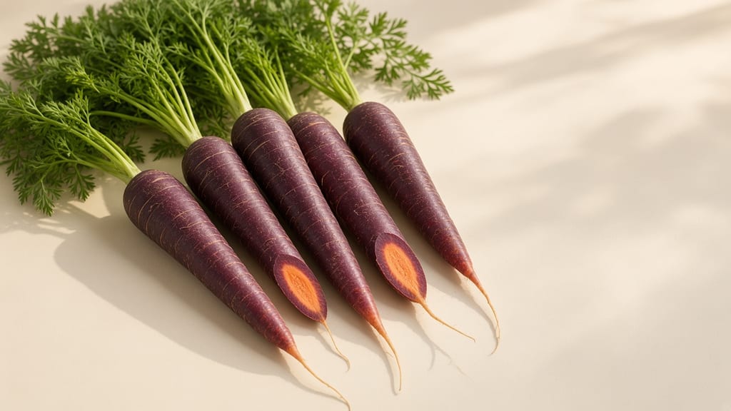
Black carrot is the anthocyanin-pigmented Eastern carrot (Daucus carota var. atrorubens), the purple root that preceded orange types and still colours kanji and şalgam.
No community contributions have been published for this entry yet.
Sign in to contribute. Published comments and photos are free to read.
Région Pays de la Loire, Inventaire général du patrimoine culturelHistory · Geography · Landscape · Materials
Marais salants de GuérandeThe inventory locates the marshes in Guérande, Loire-Atlantique, and describes low impermeable clay mixed with sand, tidal access and drainage, sunlight and wind supporting solar evaporation.
It documents salines including Cohfort near Saillé in 971 and describes later medieval and early-modern development, while treating earlier origins as uncertain.
Sel et Fleur de Sel de Guérande IGPMethod · Seasonality · Tools
Production et récolteThe IGP group's account describes tidal intake through étiers and a sequence of vasières, adernes, fares and œillets, with solar evaporation and wind concentrating brine.
The page distinguishes bottom-set gros sel from surface fleur de sel and names the las, lousse and wheelbarrow as harvest tools; it describes seasonal weather dependence.
Institut national de l'origine et de la qualité (INAO)Product designation
Sel de Guérande ou Fleur de sel de GuérandeThe supplied salt archive identifies the INAO protected-geographical-indication record for Guérande salt and fleur de sel; this page links the salina landscape to its named regional products.